
Aveiro B Shipwreck
Filipe Castro
Country: Portugal
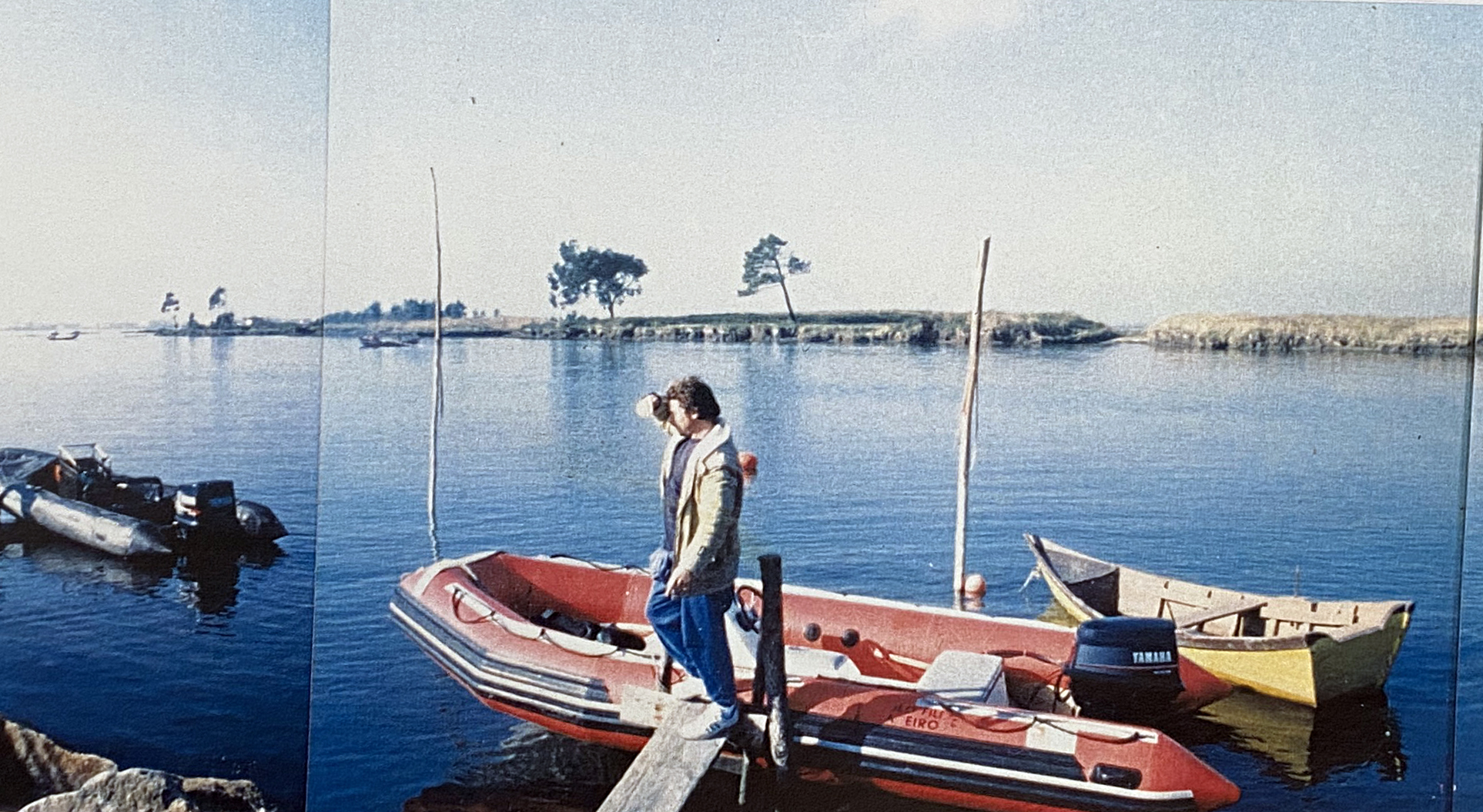
Place: Ria de Aveiro
Coordinates (approximate): Lat. 40.647303; Long. -8.663836
Type: Unknown
Identified: No
Dated: c. 1500-1600
Introduction
This site is described as partially buried under the road, its stem (or stern)post protruding from the slope, on the side of the canal. The plot of land contiguous to this site is called “Gran Caravella” (Alves 1993).
Team
This site was surveyed by a team from the portuguese agency CNANS in the early 1990s.
Tumulus
This site was later considered as a “dispersion of a variety of materials associated with harbor activities and several shipwrecks” (Bettencourt 2009).
References
Alves, F., 1993. Relatório da missão de reconheciemnto da jazida arqueológica subaquática Ria de Aveiro B. Unpublished Report. Lisbon: Arqueonática, Centro de Estudos.
Bettencourt, J., 2009. “Arqueologia marítima da Ria de Aveiro: uma revisão dos dados disponíveis.” In Octávio Lixa Filgueiras. Arquitecto de culturas marítimas. Lisboa: Âncora Editora., págs. 137-160.