A Maritime Archaeology Database of Portugal
Filipe Castro
Introduction
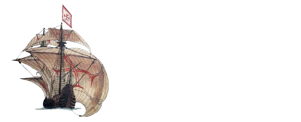
Portugal has an old and diverse seafaring tradition and a unique shipbuilding tradition. Situated on the nexus of two maritime worlds, the Atlantic/Baltic, and the Mediterranean traditions, Portugal developed a plethora of unique ships and boats, and the large oceangoing vessels that allowed the establishment of the India Route, the longest commercial route of its time during the early sixteenth century. These ships and boats have not been systematically inventoried and studied, however, despite an impressive amount of research developed by historians, ethnographers and archaeologists.
This project consists of the development of a computer-based ontology to connect isolated bodies of data and share all the information available with the international community of maritime historians, ethnographers, and archaeologists. It is a development of the Nautical Archaeology Digital Library (NADL – NSF Grant IIS-0534314), a community of scholars that I have created and developed with a team of colleagues and students since 2006. This database will generate collaborative projects and publications, aiming at sharing information and creating a critical mass in countries that have been less active in the protection of their own underwater cultural heritage within the guidelines established by the UNESCO 2001 Convention.
More specifically, this project will connect a series of datasets pertaining to historical references to shipwrecks and identified shipwreck sites, tentatively or definitively associated with the Portuguese global trade network in the 1500-1700 period.
The project methodology will be the same that was used for the creation of the NADL community, and based on four main activities: collection of data from archives, a systematic inquiry on coastal communities looking for stories or memories of shipwrecks, organization of the information in databases, and collaboration with governmental and non-governmental organizations dedicated to the study and preservation of underwater cultural heritage, as well as involvement of the public and other stakeholders, such as diving clubs, fishermen communities, professional divers, and other users of the sea.
The end goal of this project is to move the effort we developed at the Texas & University Nautical Archaeology Program to Portugal, where there is a critical mass of competent and motivated scholars at Universidade Nova de Lisboa’s Instituto de Arqueologia e Paleociências (IAP), part of História, Territórios e Comunidades (HTC), a research branch of University of Coimbra’s Centre for Functional Ecology – Science for People & the Planet (CFE).
Development
This project is intended as an inventory of known underwater sites in Portuguese waters. As stated above, the end product is a computer-based ontology that helps users to connect isolated bodies of data and share the information available. This first phase, developed by Rossana Paredes, Miguel Martins, and Maria João Santos, is intended as a GIS-based database with references to underwater sites that have been declared by divers, fishermen, and other stakeholders of the sea.
A national database of the underwater cultural heritage of any country is, by definition, a work in progress. Our’s is being built from the bottom up. The official national database (Endovélico) is the result of a long effort that started in the 1980s as an effort of a group of interested citizens, was embraced and developed officially at the Museu Nacional de Arqueologia, Lisbon, and then taken over by the successive Portuguese cultural agencies – which have been remodelled often and had several different names: IPPAR, IGESPAR, and lately DGPC.
As it is published online, Endovélico consists of a series of lists that compound known underwater cultural heritage sites, references to shipwrecks in newspapers and historical documents, often unverified and sometimes confusing places with similar names, and sites mentioned by divers or fishermen, the majority never verified (e.g., a submerged airplane at Lagos, CNS 40165).
Moreover, the national database lists are not coordinated and the information in them has never been crossed and compared, there are no procedures or protocols to enter data (e.g., guns are sometimes referred to as “bocas de fogo” other times as “canhões,” and other times as “artilharia”), and it is not clear for whom this database was made. Perhaps more importantly, the cultural agency is notoriously behind entering data and contacting the finders that declare finds (e.g., see Al-Madan online 25.2: 9-17).
The main objective of this project is to share the diversity and interest of the underwater cultural heritage of Portugal, and use it as a learning environment where a wide range of stakeholders can ask questions and find answers, discuss interpretations, and participate in the making of this archive. We are reformulating the national database as both an instrument that exposes the importance of the underwater cultural heritage for Portugal, and one that may serve as a management tool for the state agencies that manage the territory and are often denied information by the cultural agency. We have three main target groups in mind: archaeologists, government agencies (cultural agency, the Navy, the police and security agencies), and the general public.
When there is no danger of destruction, the locations of the sites are indicated as precisely as possible. Otherwise, the positions indicated in our maps are approximated.
Outreach
Although municipalities have no jurisdiction over the waters along their coast, we are organizing the territory along municipalities and capitanias, the maritime authorities. The main reason is that we would like to involve the populations as much as possible in the study and protection of the cultural heritage, and try to engage local museums and schools in our effort.
We have already established working relations with the Centro Português de Actividades Subaquáticas (CPAS), and we have several ongoing projects with municipalities, such as Esposende, Vila do Conde, Alcacer do Sal, or Lagos. Moreover, we want to work with groups of divers and help them develop scholarly projects that promote the strategic importance of Portugal’s submerged cultural heritage.
Google Maps
We are developing simple Google Maps to share with the public and we welcome any input from interested groups and citizens. After cleaning the unverified data from Endovélico – about 8,000 entries – the remaining data refers mainly to reported and often unverified troves of iron guns, iron anchors, and anchor lead stocks. We are starting this project with an inventory of the lead stocks found in Portuguese waters and reported in any way.
Anchor lead stocks
An inventory of anchor lead stocks was published by Francisco Alves in O Arqueólogo Português, in 1989. In 1998 the author added 13 lead stock finds to the original inventory, and in 2014 João Pedro Cardoso published a new inventory that resulted from an impressive effort, although it needs some small corrections. In 2017 Sónia Bombico added more items to the list of lead stock finds. As the last two reports did not consider the numbers attributed in the previous lists, subsequent finds were not added to any of the lists, and the different numerations of the national inventory don’t overlap and don’t seem to follow any logical rules, we are elaborating a catalogue that can be shared online, corrected, and completed by all interested scholars and the public in general.
Links
Outreach is an important component of this project and below are a few links we consider important parts of our project: